


Hello everyone,
When we plot a route with the Maps component in our software, it plots the route correctly, it doesn't have any weird data in it and the route is generated satisfactorily. But there is a strange phenomenon: for every route it plots, it alwasy sets a dot on the coordinates (0, 0). That causes it to always zoom in on Null Island in the Atlantic Ocean. What could be going wrong?
The screen when I open it with a dot on Null Island (long: 0, lat: 0):

These coordinates cannot be found in the configuration of the route.
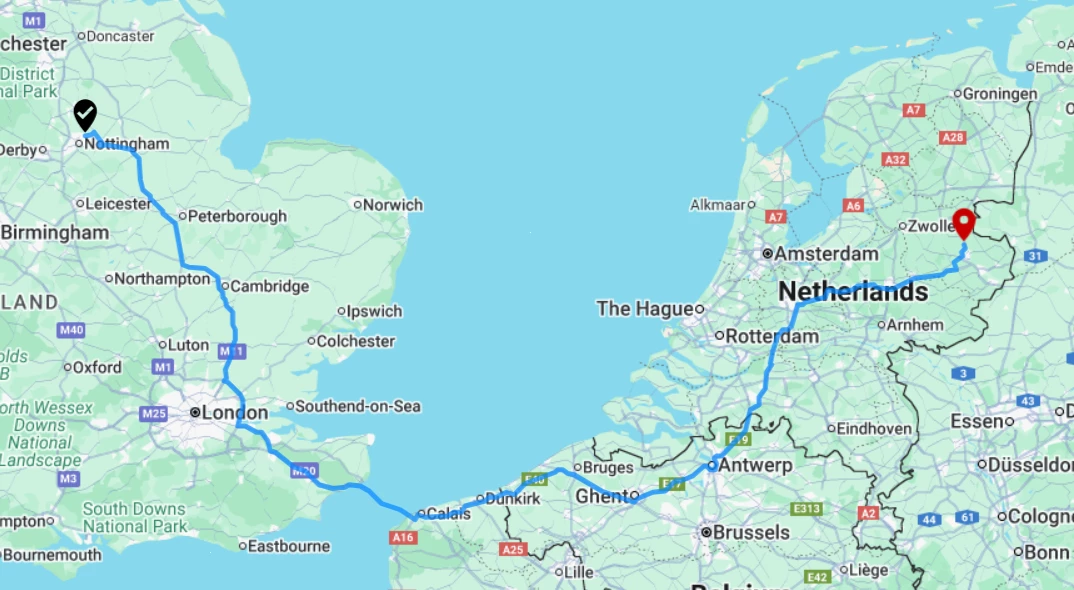
The actual route it plots and should zoom into: