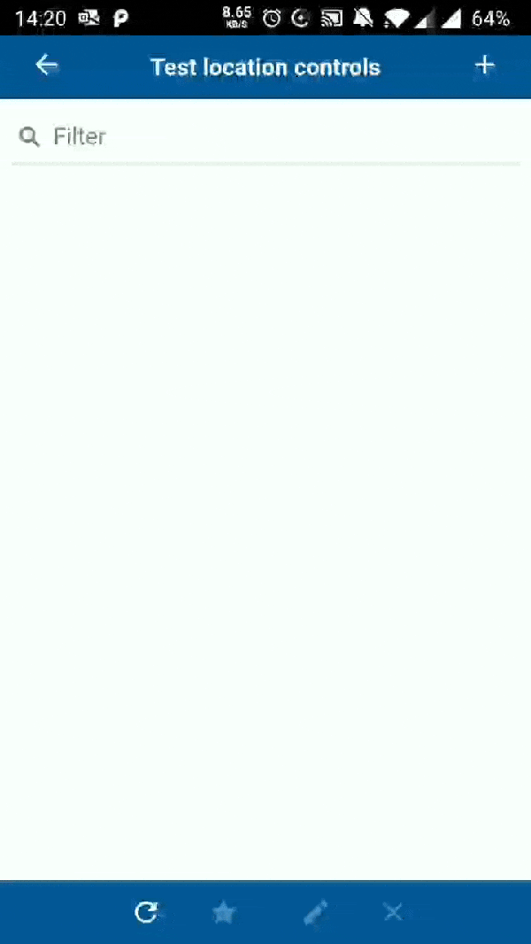
I'm not sure what you mean by a GPS Location Control in the SF. Is the Maps extender perhaps right for you? If you don't already use it, Thinkwise can add the extender in the GUI packages for download.
We use it in a few displays in our project for tracking&tracing and Geo Fencing purposes.
I think what Harm means is to have a control which, on mobile devices, is automatically filled with the GPS coordinates.
This is definitely something we want for the new Universal GUI, but it probably won't be developed for the current Mobile GUI. Unless this idea gets a lot of votes, of course π
Ah, indeed, I was mislead by the SF part in the Wish. But such a control in the mobile version could come in handy when measuring the borders of a terrain or when calling in a a stranded vehicle in our case for example. So I'm definately going to vote for this one...
I like to make use of the current GPS location in the mobile GUI, to allow giving the user calculated suggestions for nearby objects or addresses based on lat/long data. A typical scenario is to measure progress or update a status of objects in the field.
For photo's we already make use of a similar functionality, but this was achieved by a much more complicated routine, making use of Azure logic apps to extract lat/long data from images. See below to get an idea.
I really hope this functionality wll become available in the Mobile GUI soon.
Because this idea got a lot of votes, this feature has been implemented in the Mobile GUI! βΊοΈ
It is available from version 2019.1.009 and only works on Mobile devices. (so it doesn't work in the Electron viewer)
To use it, add the control LOCATION to your Software Factory and start using it in domains. Note that the domains that use it do need to use an alphanumeric datatype.
For fields that have this control configured, you'll notice a location pin to the right of the input field. Once clicked, it will ask permission and fill in the current coordinates in the input field. The format in which the coordinates will be filled in is:
code:
latitude,longtitude
So for example:
code:
52.2083228,5.9794353
When creating a row, the location control will automatically fill in the current location for empty mandatory input fields.
I think what Harm means is to have a control which, on mobile devices, is automatically filled with the GPS coordinates.
This is definitely something we want for the new Universal GUI, but it probably won't be developed for the current Mobile GUI. Unless this idea gets a lot of votes, of course π
Hi,
Jasper mentioned here that this is something you would like to implement in Universal. I canβt find a mention of this is implemented / on the backlog for Universal. Is this something that is still being worked on?
@Jasper , @KeesTap Is there an idea or a feature we could vote upon?
We use 3 different kinds of cookies. You can choose which cookies you want to accept. We need basic cookies to make this site work, therefore these are the minimum you can select. Learn more about our cookies.